MODIS: Moderate-resolution Imaging Spectroradiometer
The MODIS instrument, launched by NASA in 1999, has two sensors that capture imagery in thirty-six different spectral bands, from visible to thermal wavelengths.
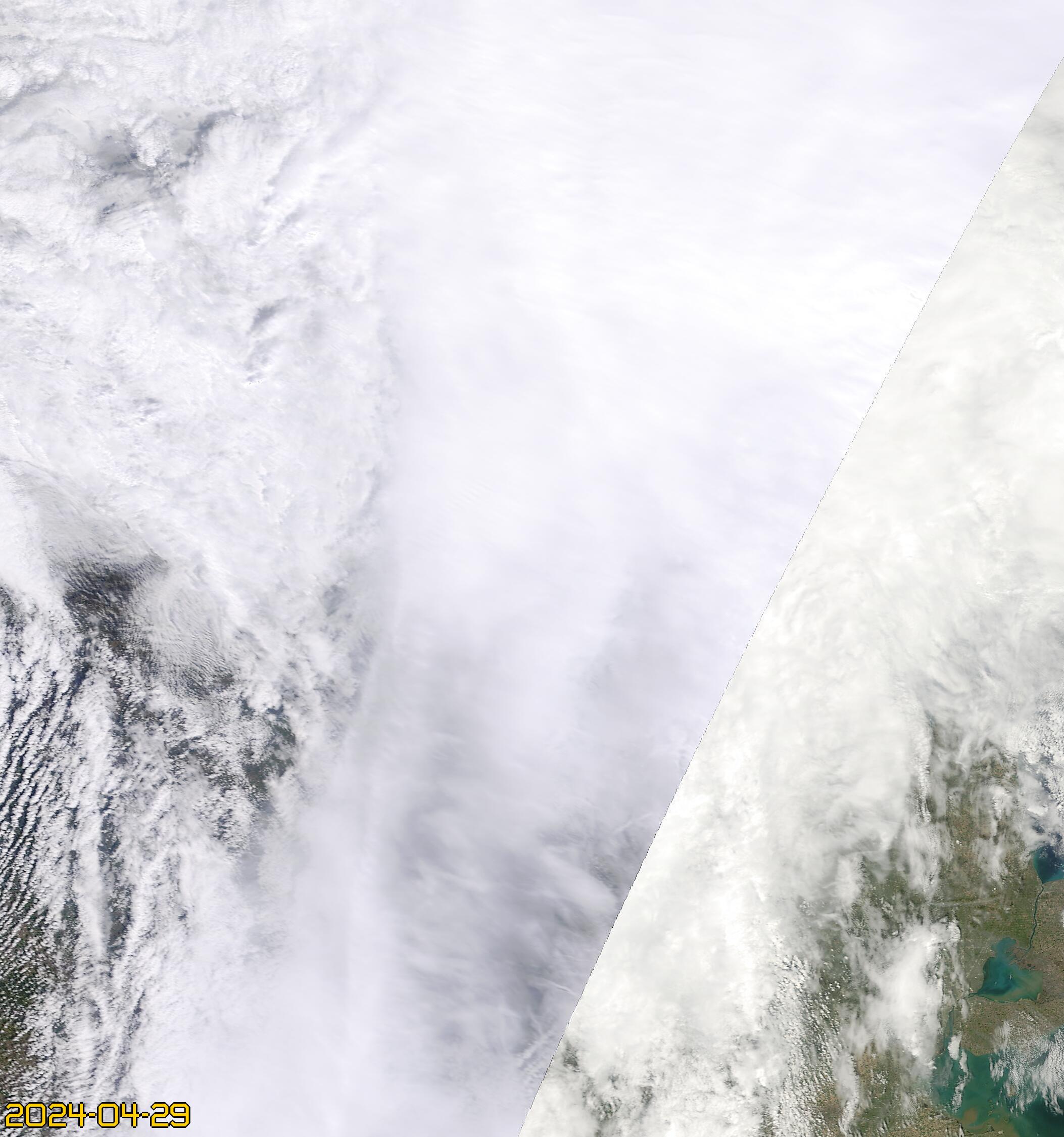
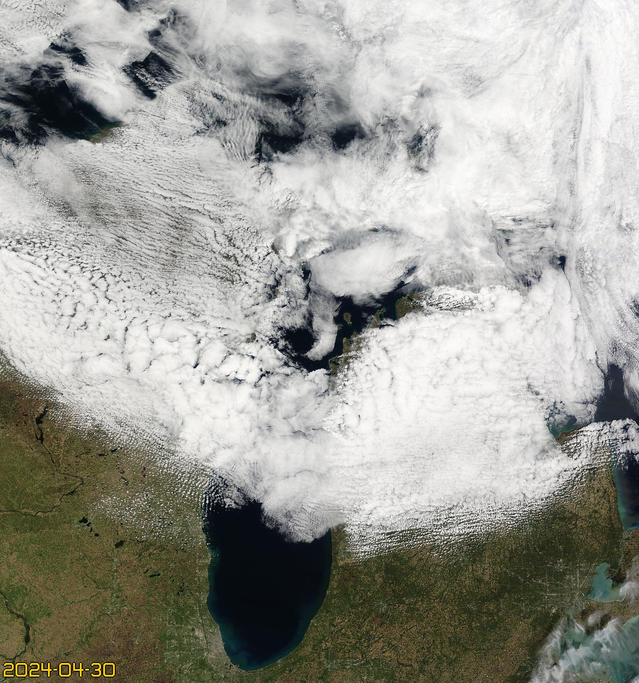
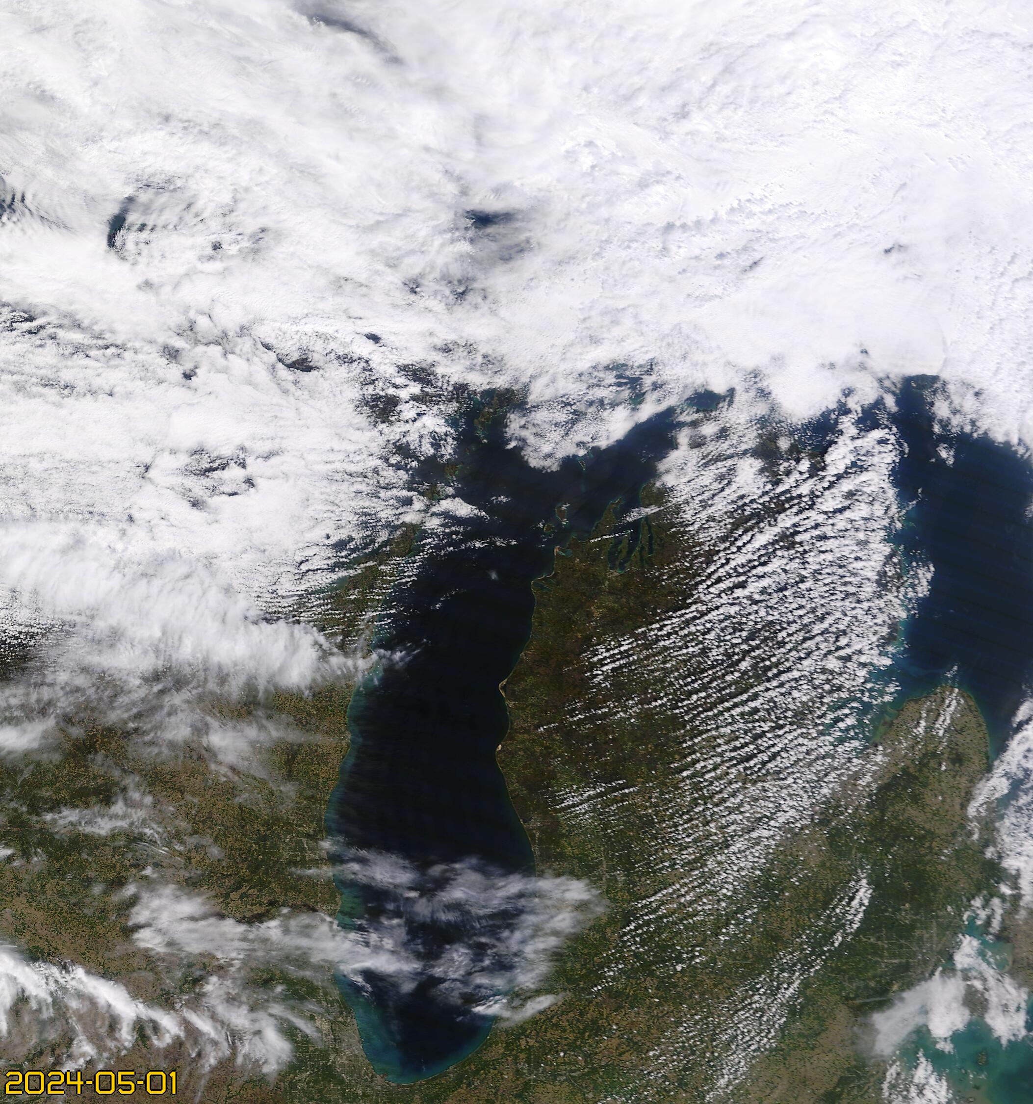
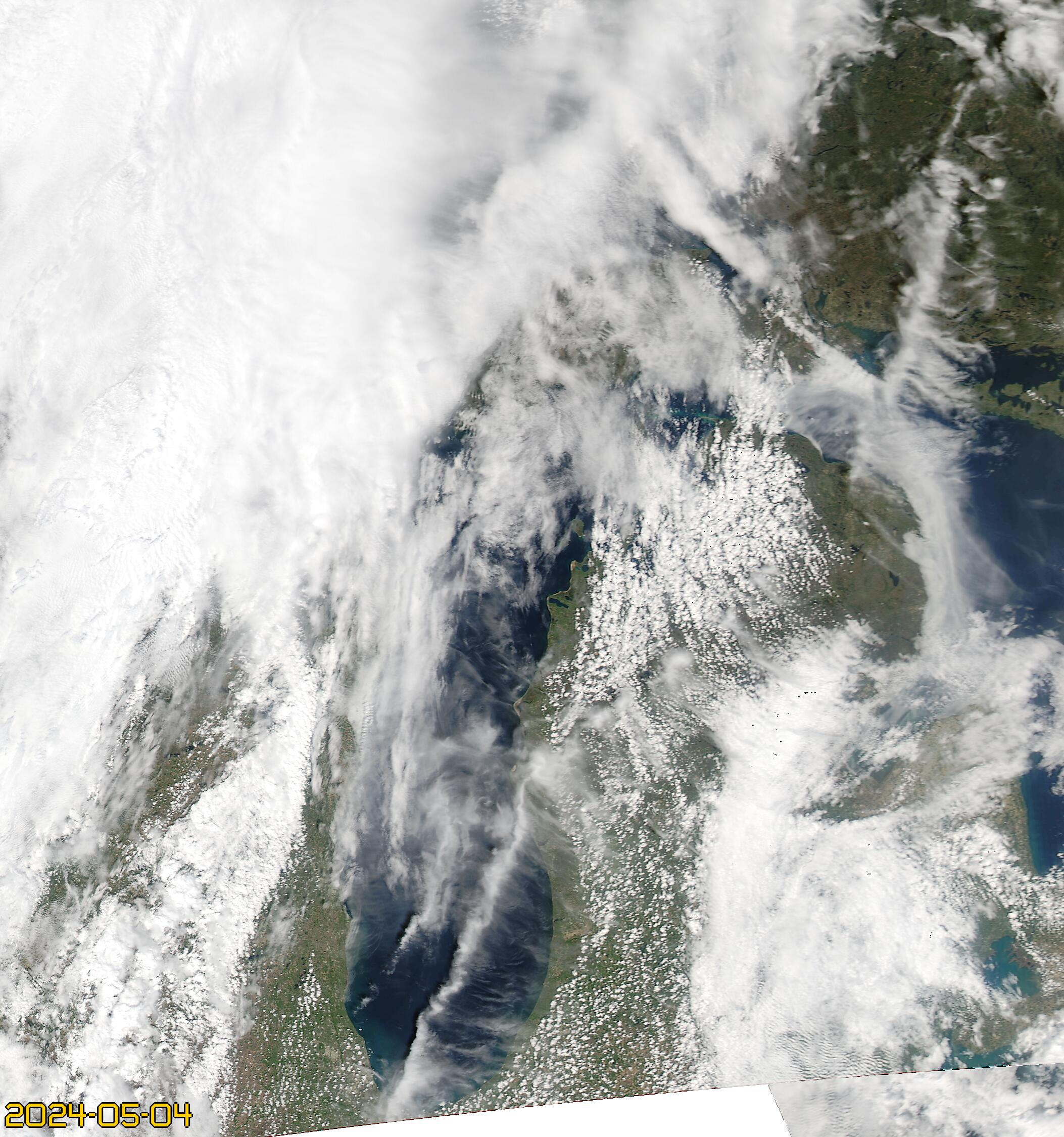
From NASA's website: MODIS (or Moderate Resolution Imaging Spectroradiometer) is a key instrument aboard the Terra (originally known as EOS AM-1) and Aqua (originally known as EOS PM-1) satellites. Terra's orbit around the Earth is timed so that it passes from north to south across the equator in the morning, while Aqua passes south to north over the equator in the afternoon. Terra MODIS and Aqua MODIS are viewing the entire Earth's surface every 1 to 2 days, acquiring data in 36 spectral bands, or groups of wavelengths (see MODIS Technical Specifications). MODIS Terra and Aqua imagery collected over Michigan can be seen below. Clicking one will allow you to download a full resolution browse image. MODIS images that can be used for science analysis can be acquired via NASA's Earth Data website.
Modis Aqua Imagery


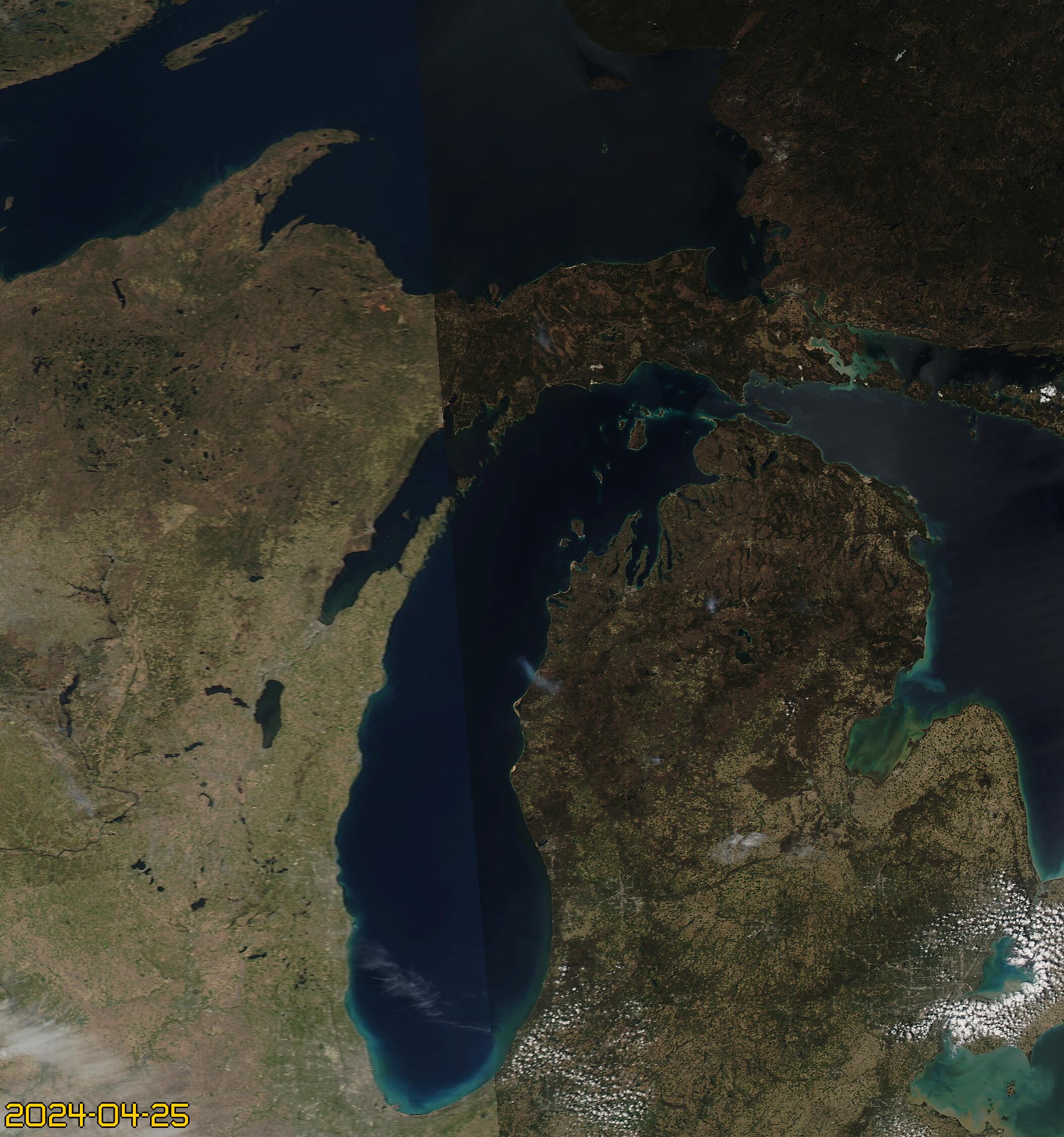
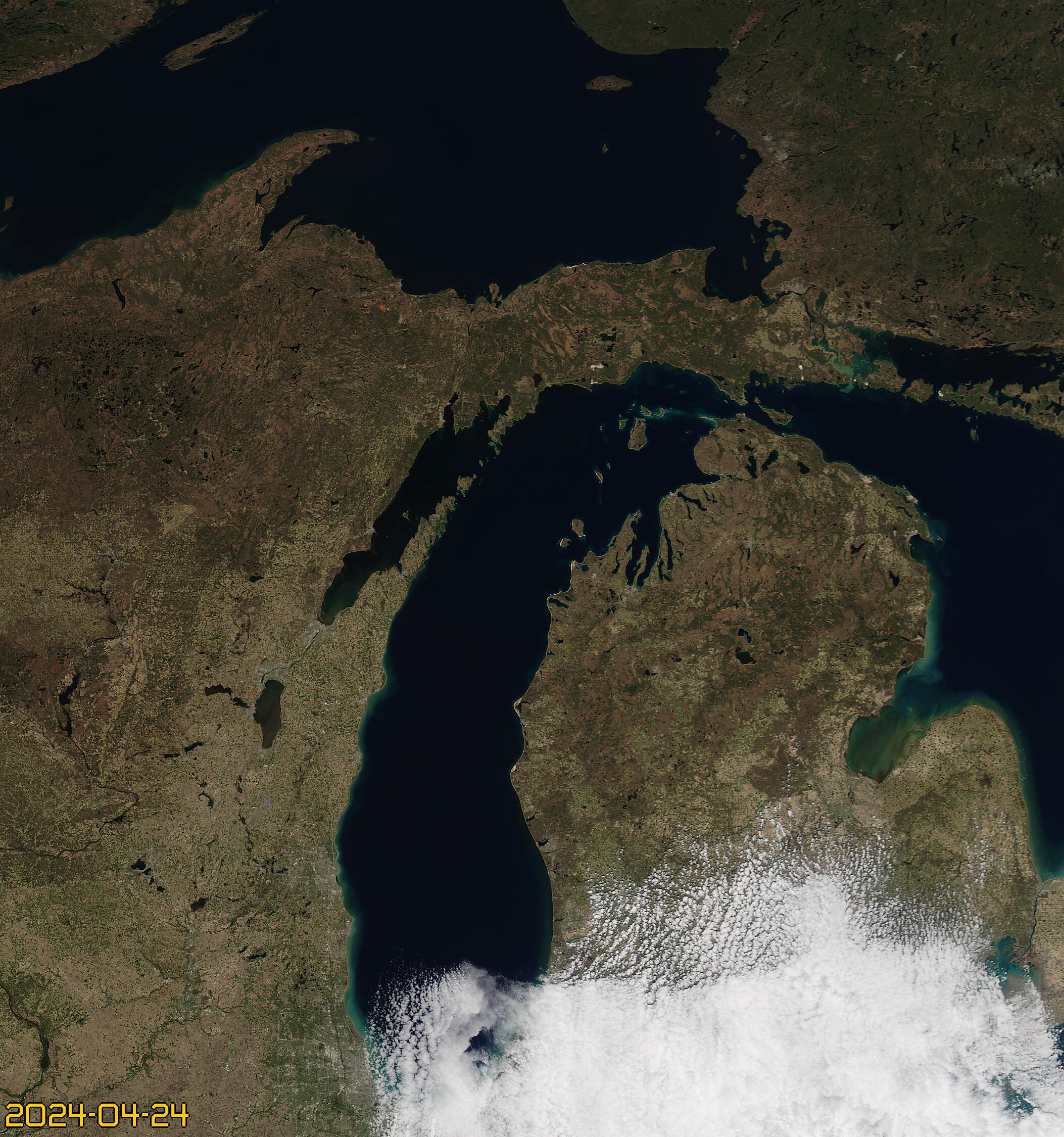


Modis Terra Imagery